Showing posts with label drainage. Show all posts

Wednesday, January 10, 2007

My 2007 Field Season Begins

This week I field validated my hyporheic confinement hypothesis for a site I have been working on.

I had been out mapping wetlands and characterizing a system of ditches and stream-like features. Lucky for me, a chinook was blowing: soil thawed sufficiently to be observed each afternoon. With not-normal effects on vegetation and soil chemistry from seasonal saturation by a nearby irrigation ditch, I suspect these two particular wetlands would delineate smaller, jurisdictionally speaking, come the growing season in March. But I don't know for certain. The combination of river and irrigation induced hydrology can be confounding.

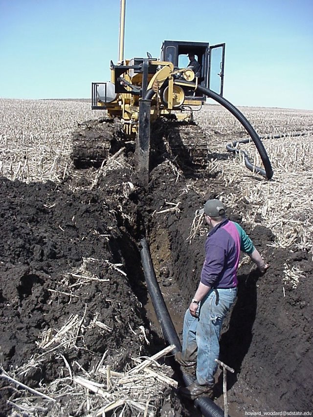
Many of the stream-like ditches used at the site to accommodate irrigation water and return flows were dry. For the ones that had flow I had a devil of a time getting into them safely to measure their cross sectional profile. Prior to my client's purchase for a residential/golf course project, the property was used to run a cow/calf operation. Much of the lower ditch (15 - 30 feet across) has 20 plus inches of anaerobic mud and manure, a sure recipe for disaster for the hip wader approach. The occasional gravel bar saved me from having to pontoon for my data.

The ditches are running with mostly hyporheic/phreatic Yakima River water. I say mostly, because some snowmelt was running in a small ditch onto the site from the upland terrace onto the floodplain. The Yakima is 1000 feet away and was running near bank-full. The ditches are running a few inches below the ordinary high water scour line, and I feel certain the two hydrologies are connected.


The concept that hyporheic/phreatic hydrology can reach this far is a challenge for most folks, including my fellow project team members. How can river groundwater hydrology be feeding it when the ditch is higher than the river? The answer lies in subsurface gravel filled channels. Rivers lose and gain the same water repeatedly. In losing reaches, water drops out of the bottom into permeable gravel filled channels. Where these channels are covered with less permeable material, confinement can result in a considerable buildup of gravitational head. Where the gravel channel reaches to the margin of the floodplain, confined water can upwell at considerable distance from the river, and can be confused with irrigation derived groundwater.

In the Yakima Valley, with its 500,000 irrigated acres and its network of leaky canals, irrigation induced seasonal wetlands are common. In the floodplain, upwelling hyporheic/phreatic river water can be masked by irrigation induced hydrology, but only while the canals are full, or recently so. During this January visit, long after irrigation diversions have ceased, there was no mistaking the dominant river-induced hydrology at the site. Especially telling was the water level in an existing stream-like ditch compared with the newly constructed closed ditch intended become its replacement. Closed at the upper end, the upwelling river derived groundwater flowing in the new ditch was higher by 14 inches than the water flowing in the adjacent, topographically upgradient, closer-to-canal, older, connected, irrigation district return flow structure. 14 inches is also consistent with seepage on the bank of the older ditch structure. In the photo these are separated by only 60 feet.

These 2 ditches provide the strongest validation I've seen in the 20 years I have been observing and puzzling over hyporheic confinement and upwelling.


Sunday, February 05, 2006

Farm tile drainage progressing rapidly (II)

As mentioned here earlier, farm tile drainage is being linked to accelerated wetland loss in Minnesota. A meeting held Saturday, February 5, to discuss wetland loss drew a crowd of 300. One person testified that “99 - 100%” of the wetlands in his county were now gone. Details are reported in the St. Paul MN Pioneer Press article with the headline: “Get tough to protect wetlands, group says”. Reading the tone of the reporting, it confirms my earlier impresssion that the majority of the wetland loss is considered to be due to draining uplands adjacent to wetlands. My read (see pdf addressing MN wetland regs) is that this is normally a legal undertaking. Installing drain tile within a wetland would not be legal. This foreseeable cause of wetland loss, due to activities outside of wetlands, seems to have caught wetland advocates without a workable strategy.


Sunday, January 29, 2006

Farm tile drainage progressing rapidly

As told by Chris Niskanen over at the St. Paul MN Pioneer Press there is a tremendous amount of tile drainage going on in the north central USA: 100 million feet per year or about 19,000 miles by one estimate. Improved flexible drain tile is making this unprecedented rate of installation possible. The article mentions a number of areas of potential concern: loss of duck habitat and increased nitrate levels in surface water. Where no jurisdictional wetlands are being tiled, no permits are needed to perform this work. However the extent of the practice has caught the attention of folks and a community effort to address the impact of farm drainage on wetland habitat is being discussed.
Image source: South Dakota State University – Ag environmental issues page
Tech Tags:

Thursday, January 26, 2006

Product review - new vadose zone research tool moves to farm

Irrigated farm fields lose water to deep percolation. This groundwater recharge, and what it contains, is difficult to research. This is because sampling tools designed to intercept saturated flow tend to miss unsaturated flow. And visa versa. New technology extracts deep soil moisture using a wick rather than the active suction or gravity.

The first wick samplers were passive capillary samplers (PCS). This approach has now evolved into the current water flux meter (WFM) designed recently by Batelle soil scientist Glendon Gee. Two offspring WFM designs are commercially available: the Gee passive capillary sampler drain gauge (Decagon Devices, Pullman WA) and the vadose zone water flux meter (Sledge Sales Consulting, Dayton OR). In a recent journal article, the Decagon device is referred to as a capacitance water flux meter (C-WFM) and the Sledge device is referred to as a tipping-bucket water flux meter (T-WFM). The T-WFM is close to Glendon Gee's designs published in journal articles. The C-WFM was developed by Decagon soil scientist Gaylon Campbell in collaboration with Glendon Gee.

The original PCS devices needed a pit, best dug with a backhoe. Fiberglass wick length and strand size were calibrated to site specific conditions to prevent oversampling of unsaturated conditions. Today's WFMs can be placed in an auger hole or hand-dug pit. WFM configurations use a standard size and length wick which works for most situations. A recent journal article has an example of an oversampling problem.

There are strong similarities and distinct differences between the two firms. Like Decagon, Sledge maintains strong ties with Glendon Gee. Like Decagon, many of the 200 devices Sledge has produced have been for agricultural research. Compared to Decagon, Sledge is more a hands on, farm service and farm chemical oriented consulting business. With Wayne Sledge, the T-WFM is his flagship product. With Decagon, the C-WFM is a sensible addition, part of an extensive and well supported line of soil and agricultural measurement instrumentation. It appears that Decagon and Sledge have produced a similar number of devices and they are clearly on parallel tracks of success in refining their individual product.

Both firms have supplied most of their instruments to agricultural researchers, farms and clients concerned with water use efficiency and nitrogen use eficiency such as golf courses. There has also been environmental project placements, most often associated with landfill and mine-tailing closure

Decagon has put considerable effort into refining unit capacity to record water flux, less into water sample handling. The larger base of the Sledge unit enhances water sample handling options. Decagon has a stepped design which accommodates hand auguring the deepest portion, shortening installation time. Decagon has an extensive list of complementary devices and highly capable technical support staff. The Sledge unit is substantially lower in price. Choice is good.

Of particular interest in Washington State is wastewater spray field management. As mentioned in a government report: "The Department of Ecology has identified 20 spray field situations where wastewater was [improperly] applied [and conditions] ... led to contamination of groundwater...". This report was discussed here previously.

I spoke with Don Nichols, with Washington Department of Ecology's Water Quality Program, Eastern Regional Office, Spokane, WA. Don has encouraged the installation of WFMs for gathering vadose zone water quality information. Don referred me to Cascade Earth Sciences and Soil Test Farm Consultants for more information.

Dan Burgard, soil scientist with Cascade Earth Sciences (CES) in Spokane, WA has installed 7 Decagon C-WFMs in the Pasco, WA area, and 11 Sledge T-WFMs in southern California. CES modified the equipment to enhance sample collection capabilities. (See his photos below)

Dan Nelson, soil scientist with Soiltest Farm Consultants, Inc. in Moses Lake, WA has four Decagon C-WFMs installed in the Moses Lake, WA area. Both had nothing but good things to say about the potential uses of this type of data. Mass balance calculations will demonstrate if target water use efficiency and target nitrogen use efficiency is being achieved. Detailed daily data logs show exactly when percolation occurs. Percolation events observed to date are closely correlated with irrigation and precipitation events and even soil thawing events. As expected with the difference in weight between soil and the field capacity water portion, percolate nitrate and dissolved solids (salts) are several times higher than soil levels above the sample point. The devices are performing as intended.

One question I have is how many devices are needed to achieve statistical confidence in a mass balance calculation? Users independently tend toward sets of 3 units, with singles for spot comparison data. That is a sensible starting point but determining coefficient of variability on selected data would put the results into perspective.


None of the installations have been entirely glitch-free, mostly due to various data logger challenges or site specific soil related factors, such as coarse sands or depth limits. Users of the units are looking forward to continued refinements in data logger compatibility and would like to see costs come down and but give high marks for ease of installation and setup. This and available tech support make sampler units from Sledge and Decagon an attractive alternative to the do-it-yourself installations that predate this equipment.


References:
Brown, K.W., J.C. Thomas, and M.W. Holder. 1986. Development of a capillary wick unsaturated zone water sampler. Coop. Agreement CR812316-01-0. USEPA Environ. Monit. Syst. Lab., Las Vegas, NV.
Cary, J.W. 1968. An instrument for in situ measurements of soil moisture flow and suction. Soil Sci. Soc. Am. Proc. 32:3–5.
Gee, Glendon W., Zhang, Z. Fred, Ward, Andy L. 2003. A Modified Vadose Zone Fluxmeter with Solution Collection Capability Vadose Zone J 2003 2: 627-632 (highwire link) http://highwire.stanford.edu/
Knutson, J.H., and J.S. Selker. 1994. Unsaturated hydraulic conductivities of fiberglass wicks and designing capillary wick pore-water samplers. Soil Sci. Soc. Am. J. 58:721–729.
Selker
, J.S., C.K. Keller, J.T. McCord. 1999. Vadose Zone Processes, Lewis Publishers, ISBN 0-87371-953-0, GB1197.7.S46 1999 [1] [2]
van der Velde, M., Green, S. R., Gee, G. W., Vanclooster, M., Clothier, B. E. Evaluation of Drainage from Passive Suction and Nonsuction Flux Meters in a Volcanic Clay Soil under Tropical Conditions Vadose Zone J 2005 4: 1201-1209 (DOI: 10.2136/vzj2005.0011) (highwire link)